Showing posts with label Eaglehawk Neck. Show all posts

Saturday, 3 June 2023

The Blowhole, Eaglehawk Neck

Down at Eaglehawk Neck is a blowhole, it's spectacular to see when in full swing, I've seen it many years ago and of cause I did get drenched back then.  This time we visited the sea was calm.


A short walk up a little hill takes you to the lookout below is the view.


Sunday, 21 May 2023

Tasmans Arch

Whilst down in the Port Arthur area we visited Tasmans Arch.

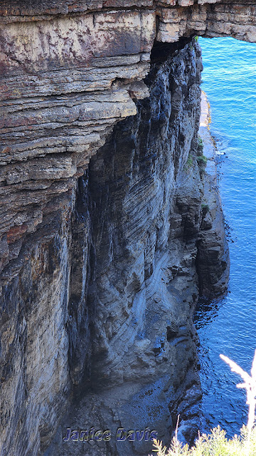
Tasmans Arch as it is known is a tall natural bridge in the sea cliffs of the Tasman Peninsula, that has also been carved out by the Tasman Sea.
The roof of the massive sea cave, or tunnel, produced by wave action over thousands of years is what remains of Tasmans Arch.  The cliff's vertical cracks (joints) were acted on by the pressure of water and compressed air, sand, and stones, dislodging slabs and boulders.
Erosion has deepened or lengthened the tunnel over thousands of years.  The tunnel eventually came to a break that runs parallel to the coast.  At sea level, this fracture is connected to the Devil's Kitchen.  At this point, the roof collapsed, leaving a pit behind an arch.
Tasmans Arch was named after the Dutch explorer Abel Tasman, who played a key role in colonising Tasmania in the early 1800's.
There is a link  [ here ] where I got this information from.


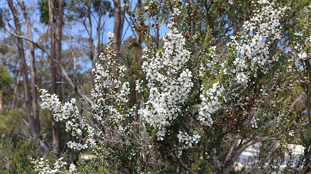
Some native bush in bloom near by.


Wednesday, 17 May 2023

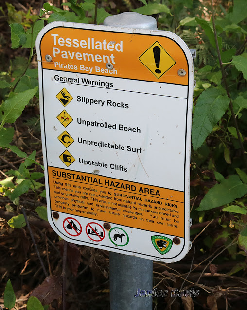
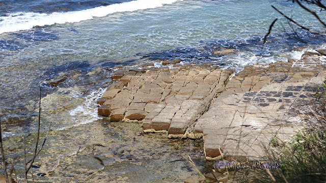
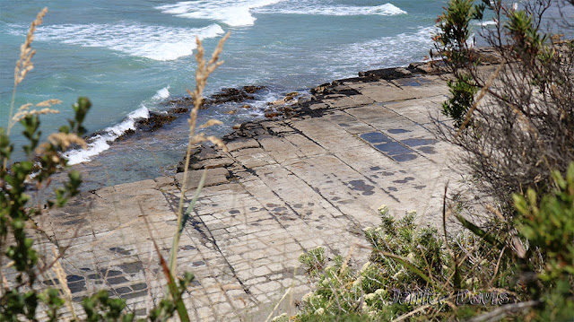
Tessellated pavement, Eaglehawk Neck.

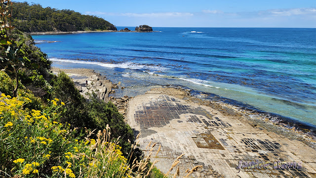
The Tessellated pavement near Eaglehawk neck is approximately 300 million years old. The pavement is where a rock surface has been divided by fractures, producing a set of rectangular blocks.  
We went the Tessellated pavement when the tide was out, if you don't, the pavement isn't as visible.
Many people go down the stairs to walk on the pavement.
I've taken photos of the way in and then the pavement below. 
The last time we visited was in 2015 and you can find the photos [ here ] plus more is written regarding the pavement.


Saturday, 13 May 2023

Jetty, Port Arthur and Pirates Bay

Just before we got to the Caravan Park at Port Arthur we saw a sign to the Jetty, so one day we ventured in to have a look then we drove to Eagle Hawke Neck to view Pirates Bay.


Pirates Bay at Eaglehawk Neck below.
Pirates Bay has been known by the same name for 200 years but only now have historians uncovered the story of the convict pirates who gave the Tasmanian inlet its name. 


Saturday, 2 January 2016

Tasman Arch, and Scenery

Tasman Arch down Eaglehawk Neck.  Down the southern part of Tasmania, Australia.
On a very rough day it's magic with sea spray.
We visited this area in November 2015


The Tasman Sea, then the Southern Ocean.
This is where the Yachts in the Sydney to Hobart Yacht Race go.


Taken from same place but zoomed in a little.


At a beach, a couple being careful.


Way under the sea........

Tuesday, 24 November 2015

Tessellated Pavement, Eaglehawk Neck, Tasmania

Again this month my husband and I headed off to the southern area of our island State of Tasmania for just over one weeks stay at Cambridge about 10km from the State Capital Hobart.  We visited Eaglehawk Neck - see the Location map at the bottom of this post.

Tessellated Pavement, Tasmania.

The most well known example of a tessellated pavement is the Tessellated Pavement that is found at Lufra, Eaglehawk Neck on the Tasman Peninsula of Tasmania. This tessellated pavement consists of a marine platform on the shore of Pirates Bay, Tasmania. This example consists of two types of formations: a pan formation and a loaf formation.
The pan formation is a series of concave depressions in the rock that typically forms beyond the edge of the seashore. This part of the pavement dries out more at low tide than the portion abutting the seashore, allowing salt crystals to develop further; the surface of the "pans" therefore erodes more quickly than the joints, resulting in increasing concavity
The loaf formations occur on the parts of the pavement closer to the seashore, which are immersed in water for longer periods of time. These parts of the pavement do not dry out so much, reducing the level of salt crystallization. Water, carrying abrasive sand, is typically channelled through the joints, causing them to erode faster than the rest of the pavement, leaving loaf-like structures protruding.
Wikipedia.


The walk to see these pavements is a short one, and you can go down to the sea to have a better look.


Part of Pirates Bay, Eaglehawke Neck, Tasmania.