Showing posts with label South Australia. Show all posts

Friday, 11 November 2022

Cape Jervis, SA

In 2003 that we visited South Australia a State of Australia.  In those days not many photos were taken by me, but have a few which I haven't shown before.

This place is called Jervis Bay and it's here you catch the ferry to Kangaroo Island.  Cape Jervis in near the western tip of Fleurieu Peninsula on the southern end of the Main South Road about 88 kilometres south of Adelaide the capital of South Australia (SA).
You see the lighthouse which is unusual then part of a wind farm which we did visit back then.
The first photo is of Aboriginal Art.


Monday, 25 October 2021

South Australia

On our journey in South Australia we visited the Barossa Valley where many wine grapes are grown, harvested and wine made.

Stonehaven Vinyard is the first photo then further on some scenery and the hills in Adelaide are of course hilly.

A police bike, oh dear we got pulled over because our mirrors for towing the caravan were not wide enough in South Australia (SA), we just got a warning and to acquire new mirrows at our next stop which was many klm up the road.

Then a bridge somewhere near the hills when the river was very low and an old abandoned house.


Wednesday, 16 March 2016

On the way to Penola, South Australia.

On the way to Penola we stopped for lunch at Willalooka in South Australia.
It was here we encountered our first problem of our trip.  The *Anderson Plug from the Caravan to the back of the vehicle was broken, having come out when turning a very sharp corner.  So a trip back up the road some 20 klms to find an Auto Electrician who would fix the problem straight away.  We were very lucky, done in 20 mintues so off we went back down to have lunch at Willalooka.
*Anderson Plug carries power to the battery in the caravan and also for the breaks for the caravan.

Way back up the road we had done 14,000 klms (8,700 miles) thus far on this holiday.

  
After lunch we drove on and came across a Park in honour of Father Julian Tenison Woods who was the Catholic priest of the Penola Parish in the 1860s and with the Blessed Mary MacKillop, they formed the Order of the Sisters of Saint Joseph.

In his role as parish priest of the south-eastern district of South Australia, Father Woods was able to combine his devotion to God's work with his interest in science and nature.
This area of land on the original Limestone Ridge Station was a favourite stop-over during his travels across his parish, and he could often be found preparing sermons, celebrating Mass and rejoicing in the splendour of his natural surrounds beneath the shelter of the towering River Red Gums.

In Father Woods honour there are 7 tree stumps with carvings of people on them.
I did take photos of the 7 carvings but only showing a few.


Father Woods and Mary MacKillop who now is a Saint.

Next to the Park there were some grape vines.


You can see where is Penola on the map, it's the last black circle.  We were next heading for Port Fairy in Victoria.


Monday, 14 March 2016

Mannum morning Fog, SA


When staying in Mannum, South Australia it was foggy, sea fog to be exact one morning.  I grabbed my camera and the first photo is what I saw.  The photos were taken from the Caravan Park.


Yes, it's a Pelican - two -


Mannum has a population of just over 2,000 people.  The streets were bare of people, no one in the shops and one being closed for lunch.  A new supermarket up on top of a hill seemed to be always busy each time we visited it.

The first European settlement in the area was in 1840.  

Friday, 11 March 2016

Murray River at Mannum, South Australia

 Have returned from my short break and now continuing with the holiday of last year.

The Murray River is 2508 km long, (1,558 miles) is the longest River in Australia.
The Murray rises in the Australian Alps, draining the western side of Australia's highest mountains, and then meanders across Australia's inland plains, forming the border between the states of New South Wales and Victoria as it flows to the northwest into South Australia. It turns south at  [Morgan] for its final 315 klms (196 mi), reaching the ocean at Lake Alexandrina.
 
The water of the Murray flows through several terminal lakes that fluctuate in salinity (and were often fresh until recent decades) including Lake Alexandrina and The Coorong before emptying through the Murray Mouth into the southeastern portion of the Indian Ocean, often referenced on Australian maps as the Southern Ocean, near Goolwa. Despite discharging considerable volumes of water at times, particularly before the advent of largescale river regulation, the mouth has always been comparatively small and shallow.
As of 2010, the Murray River system receives 58 percent of its natural flow.  It is perhaps Australia's most important irrigated region, and it is widely known as the food bowl of the nation.

More information on the Murray River.

The Murray River is also used for many things, irrigation, River Cruising, fishing, water skiing and so on.  Of course not in all places.
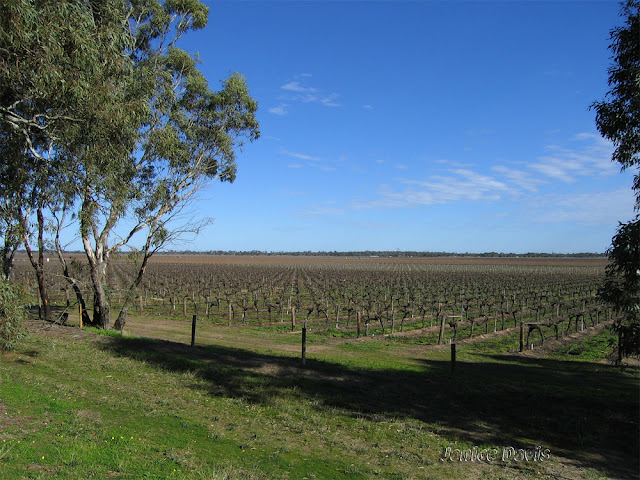


From the lookout.


The Caravan Park at Mannum.  It's very busy in spring, summer, autumn, and holiday time.
In winter when we were there last year, no one about.  That's our caravan and we were so lucky to be parked right on the bank of the Murray River.


Below is the PS Marion built in 1897,  provides a unique opportunity to experience the thrills and mysteries of the golden years of the river boats. Undertaking short cruises throughout the year on the Murray River departing from Mary Ann Reserve in Mannum, PS Marion also conducts overnight passenger cruises, including the acclaimed Rockford Steam Powered Dinners as well as being available for private charter cruises.
Visitors are welcome to view PS Marion whilst she is moored at her home at Arnold Park Wharf (museum opening times) including inspection of the galley, dining room, lounges and cabin accommodation.


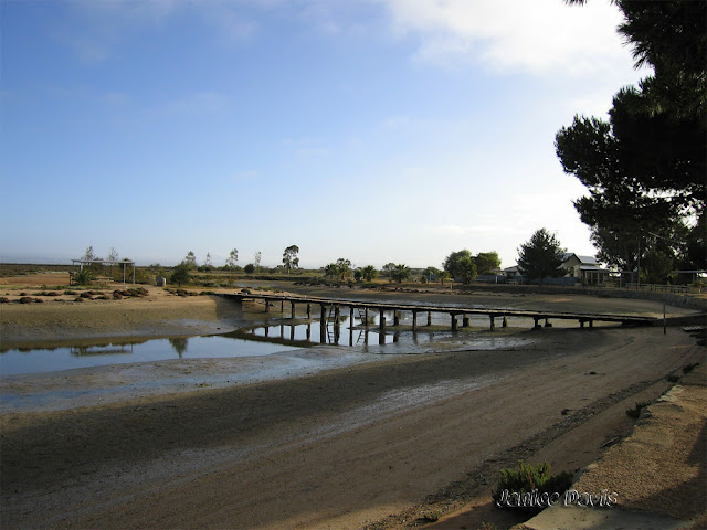
The Barge, there are two, one for large vehicles the other for smaller ones.  These two barges go across the Murray River at Mannum 24/7

Thursday, 3 March 2016

Scenery, SA

After Clare, SA we went through Gawler and no photos of that town due to no where to park, plus it was raining.  Headed towards Mannum, SA through the Barossa Valley Wine Region.
Photos below are of some of the things we saw.
Some photo were taken from inside the vehicle as we travelled.


Gum Trees


This area was hilly but lovely scenery.
There was a lookout on Randell Road in Pleasant Valley.


A weed, but I thought it was pretty.


Further down the road we came across these painted stone.


I have put the black dots on the road we came from Clare.

Monday, 29 February 2016

Clare, South Australia


Clare, South Australia.
We stayed in Clare for one night at the Caravan Park.
The map of where Clare is, is on the previous post.

The town itself was established in 1842 by Edward Burton Gleeson, and named after his ancestral home of County Clare in Ireland.
The layout of the town's road system was apparently designed by a draughtsman in Adelaide, without any knowledge of the local geography. There are several roads in Clare that end abruptly at a cliff face, only to continue again at the top of the cliff.
 
As one of the larger towns in the region, Clare is an administrative and service centre for the surrounding area. It has two supermarkets, many other specialty stores, two public and two private schools, three hotels, two motels, a caravan park and showground.
Clare has become recognised for its 'experiences', including the Riesling Trail walking and cycling route from 9 km north of Clare to Auburn (25 km), on the former railway alignment, so named as it weaves past vinyards and wineries, and continuing to Riverton as the Rattler Trail. The Clare Valley wine region continues within the same line of hills as the famous Barossa Valley, and also produces some excellent wine.
Wikipedia

A few facts regarding The Clare Valley.
The Clare Valley Wine Makers were the first in Australia to invent the screw cap closure for Riesling bottles.
27% of South Australia's high quality grain is produced in the MidNorth region.
The Reilsing Trail was originally part of the railway line, which ran between Riverton to Spalding, but was abandoned after the 1983 Ash Wednesday Bushfires.
The Clare Valley is home to the only remaining Jesuit-owned winery in Australia, Sevenhill Cellars, which to this day, produces sacramental wine for religious ceremony.


One of the many Vineyards on the way to Clare


Clare Hotel


The Clare Courthouse


The Town Hall


ANZ Bank

Friday, 26 February 2016

Lunch at Crystal Brook, South Australia

Always good to arrive in a town and look for something different to eat.  Crystal Brook has a wonderful bakery with all manner of foods.  It's here be bought lunch and took it back to a rest area near by.
It's a lovely clean town.

Crystal Brook is a town in South Australia, named after the spring-fed creek next to which it was founded. It is 197 klms (122 mile) north of Adelaide and in 2006 had a population of 1,185
Crystal Brook is situated on Goyder's Line near the border of two climate systems. While apparently cold semi-arid, the town benefits from a temperate Mediterranean climate zone near to the east, making possible slightly more intense farming in the region. To the west and north-west lies some marginal, semi-arid farmland. The local farming community still supports many small businesses in the town.
Crystal Brook (or creek) supplied water to the town until 1890 when the Beetaloo Reservoir was completed, which at the time was the largest concrete dam in the southern hemisphere.
Wikipedia.


The bakery


Post Office


The Butcher 


The main street


The rest area where we ate the lunch in the Caravan.