Showing posts with label Floods. Show all posts

Wednesday, 25 September 2024

More of the floods and wind.

More photos of the floods back at the beginning of this month.  The below photo was taken from a small bridge, a much improved bridge I must say - it is just up the road where my husband and I lived for the first 8 years of our married life.  Being a city girl, I loved living in the country and that river, though not wide is called the Liffey River and it's where I used to swim as it's fairly deep.  On really hot days I would take a tractor tyre tube and my Labrador dog and off we would go swimming.  Also on hot days when the men had finished carting bales of hay they would come down to the river jump in to cool off.
Then we would walk up the road such a short distance and I would cook them their evening meal.
Do keep in mind the water was a lot cleaner and it normally is but of course in the photo it's been stirred up by the rain and flow.


The photo above is at the end of the road and on the side of the road heading towards Launceston, where I live.  The storm and wind broke off these trees.
Further along the main highway we came across this area which is called Westwood, and the photo was taken from the Westwood Bridge.


It was a lovely drive even though it wasn't sunny, good to see the lambs..  The below photo is a small quarry opposite the lambs.


A house/farm in the Westwood area and the flood area on the way back to the main road/highway.


Wednesday, 11 September 2024

Floods and Storm

Very recently we have had massive storms here in Tasmania, roofs blown off houses, fences falling over, trees as well, power poles fallen, power cut off to so many homes for days along with heavy rain at times. 
Thankfully where we live on top of a flat hill we didn't lose power or have any damage done.  
So off for a drive to view some areas where the roads were not closed due to floods and power lines down to take some photos.
These photos are from different areas here in northern Tasmania which received the storms strongest winds than the southern area of the State.
The last photo of the bridge, usually you can drive further up under it.


Monday, 24 October 2022

More water

If anyone is interested  -
My Ethnicity DNA is 62.8% Irish, Scottish and Welsh.
36% Scandinavian.
1.2% Greek and South Italian.

The most surprising was Scandinavian, Greek and South Italian.  It seems I have cousins living all of this world - just amazing.

A few more photos of the risen waters in the Tamar River here in Launceston, Tasmania Australia.


The photo above shows the toilets where the water level has risen to.
The photo below is of the swimming pool and the basin, in the 2nd photo you can only see water.

Thursday, 20 October 2022

Floods

Interesting to note whilst doing a direct branch of my family tree I discovered that part of my heritage is French - well I never!  Getting the DNA done in Texas, USA, results soon.

Down to business regarding the floods we have had here in the Northern area and North Western area of the Island.  A few people lost their homes but of course these floods were not as bad as the floods in the State of Victoria, Australia.  Where we live it rained but seeing as we live on a hill we were ok, no water even under the house but that's the way it's always been.

I've a few photos and video which I took this past week. Video yes I have some but the one I'm showing today was put together by someone, thought it was done well so hence sharing.  I did a post on the Trevallyn Dam recently showing a video, well this video below has much more water going over it and it's a video of various places within the Launceston area. 2 minutes and 8 second.


This is on the other side of where I live in Launceston, Tasmania, Australia and it's mostly farmland that has flooded.


The Circus was in town and they nearly got flooded but were spared.  You can see the top of the big tent.  Dirty water in the middle of the photo rushing/gushing down to the Tamar River from the Cataract Gorge.


Monday, 26 September 2022

Trevally Dam

Trevallyn Dam and Lake Trevallyn is a concrete gravity dam built on Dolerite bedrock.  The spillway height is 26.8 meters and the dam wall is 177 meters long.  The lake has a surface area of 1.48 km and storage capacity of 12.33 million m3.  Height of the dam wall is 33 metres and the total volume of the wall 61,000 cubic metres.  It various at times depends on who did the measuring.

Photo taken just the other day..


A video which is in MP4 format goes for about 30 seconds...hope it can be viewed.  There is a voice 3/4 the way through as someone is bound to say something when you are taking a video!


A picnic area with daffodils and shelter in the ground where the dam is.


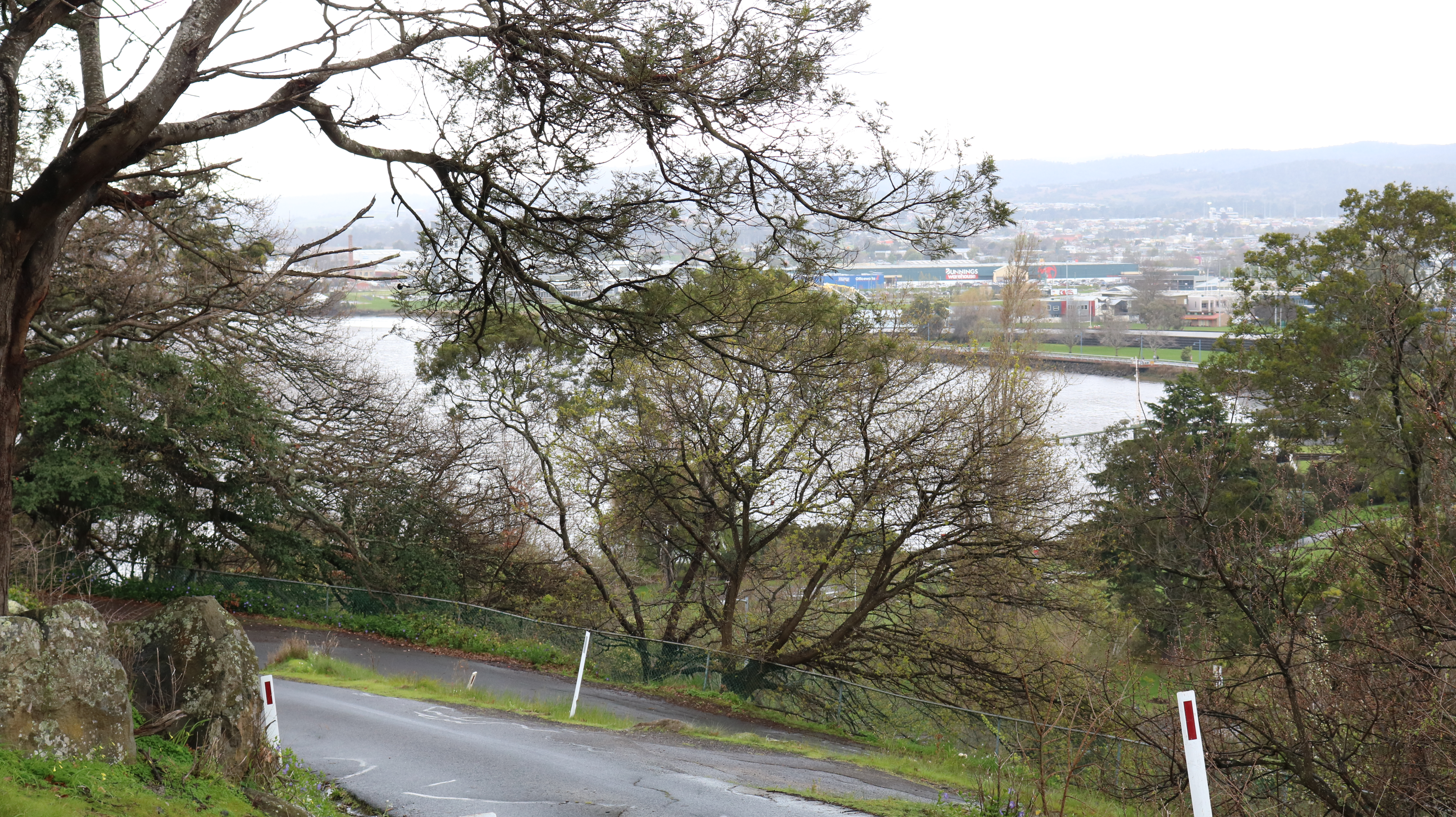
Two photos from a winding road within Launceston which is not used very much, so a view towards the Tamar River for the one above and below the view of the outer area of Launceston on a rainy day.


Saturday, 3 September 2022

Flood

Well it's springtime down this end of the world.
There has been a bit of rain upstream from Evandale, well a lot of rain and the water flows into the South Esk River near Evandale, Tasmania, Australia.  Also near Evandale is the Launceston Airport. I have a best friend living in Evandale so after visiting her we went to the river to find the road closed.
It's a good place for a picnic and a swim but no loos.  People take their dogs for walks along the river bank, no camping permitted either.


Friday, 10 June 2016

The Flood, Launceston, Tasmania.

Lovely weather for the Ducks.  Came across this one whilst travelling around Launceston to view the water from the flood.

Some of my followers may know that Launceston and some surrounding areas have been in a bad flood.  In summer we were crying for it to rain, water was low to supply power, diesel generators were brought in and now they are able to return back to where they came from, now that lots of rain has fallen.
This rain didn't fall in Launceston but up in other areas thus flowing into two rivers that meet here in Launceston and coupled with a high tide all at the same time causes major flooding.  This time however, the high tide was at a different time when the water came gushing through.

Our city knew of this delima  should it happen again (last time was 1929) so levees were built over time and finished last year.  They worked!

2 people are missing still.
Cattle/sheep lost in the country areas.
Houses flooded in some low lying areas.
The list goes on.

Yesterday we headed off into the city, to take some photo.
Firstly going to the Trevallyn Dam, a long time since water has been over it.


Part of the Tamar River, wider than normal.


Headed to the Tamar River near the city.  Tamar Yacht Club on the left, and the water came up to the level of the far seat.
Lower photo of the same area.


Next door to the Yacht Club is this restaurant which is very popular.  It was flooded as we looked in the window.


Looking from the walkway at the Yacht Club is a pontoon, all the rubbish of logs and so on can clearly be seen.


To the right of the Yacht Club is Kings Park it's hear that one can go for a lovely walk. Where the lamp light is on the left of the tree, well that is the footpath.
On the right beyond the green grass is a brick wall with steps with the skate park behind it.
The below imagine gives some idea of the extra width of the Tamar River.


This is the King's Bridge and that little house is the gateway for a walk up the Gorge.


This is another bridge that goes over the river next to the King's Bridge.


The water coming down the Gorge.


Tranquil times on the Tamar [ here ] and [ here ]